

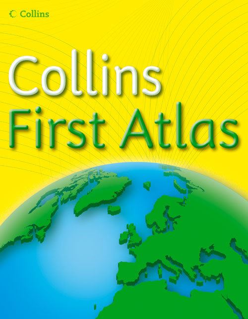
The perfect introductory atlas for children aged 4-7. Produced in consultation with teachers, the First Atlas helps children to understand concepts such as scale and distance, while introducing maps with geographical features for the first time.
Key Features and Benefits of Collins First Atlas:
Also available: The Collins First Whiteboard Atlas is designed for use on digital Whiteboards. Printable blank outline maps of the continents and the world are included to support classroom activities
| ISBN: | 9780007221691 |
| Publication date: | 6th February 2006 |
| Author: | Collins Maps |
| Publisher: | Collins an imprint of HarperCollins Publishers |
| Format: | Paperback |
| Pagination: | 31 pages |
| Reading age: | 4+ |
| Series: | Collins Primary Atlases |
| Genres: |
Geography Atlases & Maps |
The perfect introductory atlas for children aged 4-7. Produced in consultation with teachers, the First Atlas helps children to understand concepts such as scale and distance, while introducing maps with geographical features for the first time.Key Features and Benefits of Collins First Atlas:Local to Global - the atlas takes children on a journey from a local school through maps of the UK and Europe, to maps of the world, ensuring the atlas supports a wide range of activitiesAtlas Speak - simple, colourful maps with clear labelling gently introduces children to geographical vocabularyGlobal Views - globes are compared to satellite images to help children understand the differences in the shape and colour of countries between globes and atlasesAlso available: The Collins First Whiteboard Atlas is designed for use on digital Whiteboards.
Collins First Atlas is aimed at readers aged 4 and over.
Collins First Atlas features in the following genres: Geography, Atlases & Maps
Paperback. Not Available.
Collins First Atlas was written by Collins Maps and published by Collins an imprint of HarperCollins Publishers
Collins First Atlas has 31 pages
Yes it is part of Collins Primary Atlases series