

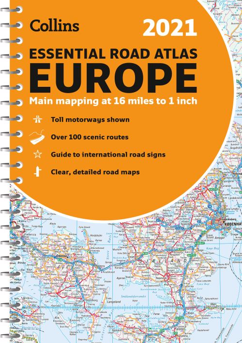
Up-to-date A4 spiral bound road atlas of Europe. Contains clear, large-scale, detailed road mapping, perfect for touring the Mediterranean, Iberian peninsula, Scandinavia and all European tourist destinations.
Scale of main maps 1:1,000,000 (1 cm to 10 km / 1 inch to 16 miles).
Main features
Clear, easy to follow road maps at a scale of 1:1,000,000. Euroroutes and motorways are easily distinguished on the mapping. The maps also show international road classifications, road distances in kilometres and relief is shown by attractive layer tints.
Area of coverage
The mapping extends from the North Cape (Norway) to Gibraltar and from Ireland to east of Moscow. Also includes Iceland and Cyprus.
| ISBN: | 9780008374334 |
| Publication date: | 23rd July 2020 |
| Author: | Collins Maps |
| Publisher: | Collins an imprint of HarperCollins Publishers |
| Format: | Spiral bound |
| Pagination: | 292 pages |
| Reading age: | 13+ |
| Series: | Collins Road Atlas |
Explore Europe with this accurate and fully updated road atlas.Up-to-date A4 spiral bound road atlas of Europe. Contains clear, large-scale, detailed road mapping, perfect for touring the Mediterranean, Iberian peninsula, Scandinavia and all European tourist destinations.Scale of main maps 1:1,000,000 (1 cm to 10 km / 1 inch to 16 miles).Main featuresClear, easy to follow road maps at a scale of 1:1,000,000.
2021 Collins Essential Road Atlas Europe is aimed at readers aged 13 and over.
Spiral bound. Not Available.
2021 Collins Essential Road Atlas Europe was written by Collins Maps and published by Collins an imprint of HarperCollins Publishers
2021 Collins Essential Road Atlas Europe has 292 pages
Yes it is part of Collins Road Atlas series