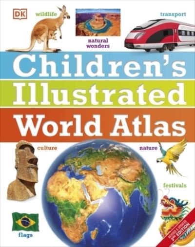
The stunning Children's Illustrated World Atlas takes young readers on the ultimate round-the-world trip. It not only portrays regions such as the Siberian wastes with a beautifully detailed map, it also shows and tells you what it is like to roam across them as a Nenets reindeer herder.
Using stunning modern mapping, based on the latest seamless, cloud-free satellite image data together with facts, maps, satellite images, and local stories, this atlas is a global yet personal experience. From Bolivia's bustling markets to carnival in Venice, the Children's Illustrated World Atlas brings together views from windows all over the world.
| ISBN: | 9780241296912 |
| Publication date: | 6th July 2017 |
| Author: | Simon Adams, Mary Atkinson, Sarah Phillips, John Woodward |
| Publisher: | Dorling Kindersley Limited an imprint of Dorling Kindersley Ltd |
| Format: | Hardback |
| Pagination: | 144 pages |
| Series: | DK Children's Illustrated Reference |
| Genres: |
Atlases & Maps |