
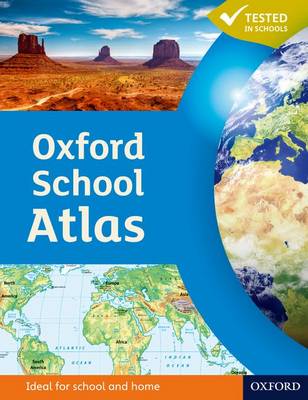
Aimed at 12+/ Year 7+. An accessible atlas that targets the core geography case study requirements at Key Stage 3 and retains a large proportion of generic mapping content.
Featuring easy-to-read digital maps, this atlas uses satellite images, photographs and artwork to enhance the themes chosen. The level of detail is accessible to 10+ geographers and the topics are specifically chosen to cover the key curriculum requirements.
| Suitable For: | |
| Other Genres: |
Featuring easy-to-read digital maps, this atlas uses satellite images, photographs and artwork to enhance the themes chosen. The level of detail is accessible to 10+ geographers and the topics are specifically chosen to cover the key curriculum requirements.
The LoveReading4Kids Editorial Team have read and reviewed Oxford School Atlas and determined it is suitable for children aged 9-12 years old
Oxford School Atlas features in the following genres: Atlases & Maps, Reference Works, Children’s, Teenage and Educational, Featured Books for 9+ readers, Recommendations, Featured Books for 11+ readers
Hardback, Paperback. £11.69, down from the £12.99 cover price. In Stock.
Oxford School Atlas was written by Patrick Wiegand and published by Oxford University Press
Oxford School Atlas has 96 pages
£11.69, reduced from £12.99. In Stock.